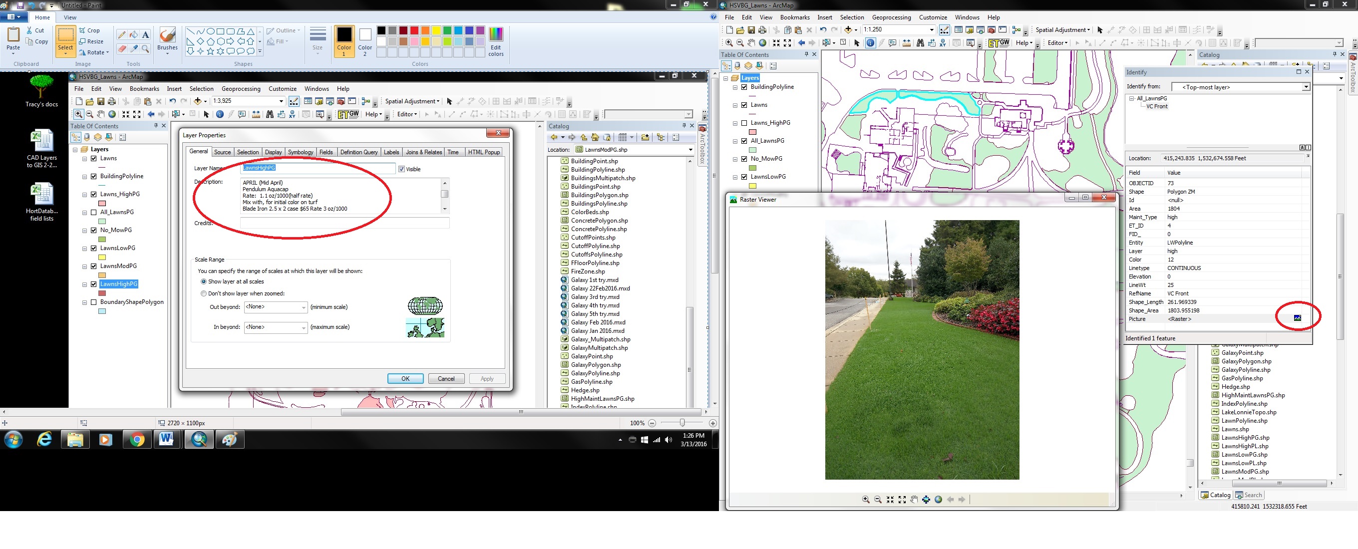
There is never a dull moment at the Garden! Being a non-profit organization has its perks; like when we got a grant for free software and training to learn how to use a GIS to help with plant records. GIS? What is that? After speaking with many other public gardens about plant collection best practices and how to make the task of mapping and record keeping easier, the consensus was that a GIS (Geographic Information System) was the way to go. Furthermore, the most highly recommended software to start with is ESRI’s ArcMap because it’s scalable; they offer a lot of support, and it’s cost effective for nonprofit organizations.
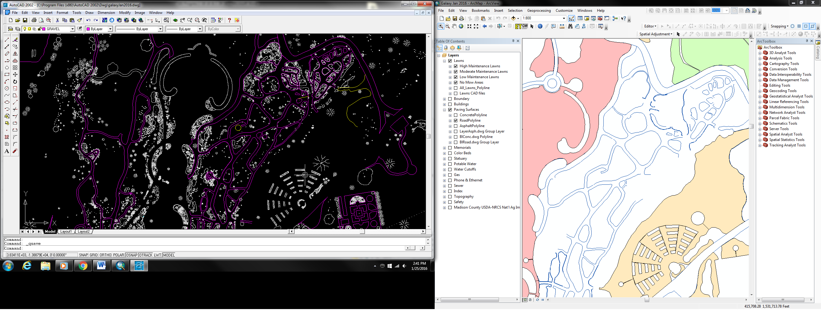
Fast forward a few months, and I was handed a book and a CD (the promised software and training) and told, “Have at it!” It quickly became apparent that my training in horticulture in no way prepared me for developing a searchable map in a software program that still relies heavily on knowledge of computer programing. So while I worked through the “how to” book, I also reached out to our local land grant institution of higher learning, Alabama A&M University. There, I discovered, was a GIS and Remote Sensing program with energetic faculty and engaged students. After talking things over with them, I decided that by the time I took the classes I’d need to become a GIS wizard; I’d be most of the way through a master’s degree. Why not? I enrolled last fall and began developing my thesis research project.
Naturally, I wanted to do something with GIS and a native plant of interest to the Garden. I saw this as an opportunity to build a stronger collaboration with A&M, as well as gain the experience needed to do research at, and for, the Garden. That was about the same time we had formed our conservation committee and identified a list of rare plants in the garden as conservation priorities. One of those plants, Clematis morefieldii, became the subject of my research because very little is known about it and I could use GIS to learn more about its’ habitat requirements.
Spatially-speaking, the places Morefield’s Leatherflower grows aren’t that big or spread out; but its distribution is shaped by pretty specific ecological and topographic requirements (we just don’t know, specifically, what they are, yet). What do the places (where it grows naturally) have in common? My research is about trying to determine what characteristics define its habitat, then using those parameters to predict locations it should grow. The ultimate test will be if I can find the plant, in places it is not currently known to grow, based off of the computer model.